| Countries > EI - Eire (Ireland) > HIS - Ireland South > 110-Maughanaclea Hills E Top [Maughanaclea] > |
|
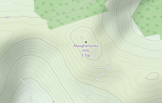
Click the above map for interactive version! |
0 Activations by 0 Activators Details Most Recent Activations QSOs By Band QSOs By Mode |
| Countries > EI - Eire (Ireland) > HIS - Ireland South > 110-Maughanaclea Hills E Top [Maughanaclea] > |
|
Click the above map for interactive version! |
0 Activations by 0 Activators Details Most Recent Activations QSOs By Band QSOs By Mode |