Website     Summits     HEMA Facebook     SOTA Facebook     Spots & Alerts     Mapping     Database Logging

Callsign   Password   
Countries > GI - Northern Ireland > HAH - Antrim Hills > 001-Black Hill >

  GI/HAH-001 - Black Hill

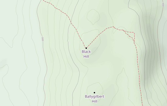
Click the above map for interactive version!For permissive path follow Antrim Hills Way (no dogs allowed)

0 Activations by 0 Activators

Details
Height 381m
Prominence 102m
Valid From 10 February 2012
Maidenhead Loc. IO74aw
WAB Square D31
OS Grid Reference D329107
Summit Feature Trig Point TR3049
Lat/Long. 54.9262/-5.92772

Most Recent Activations

QSOs By Band

QSOs By Mode