Website     Summits     HEMA Facebook     SOTA Facebook     Spots & Alerts     Mapping     Database Logging

Callsign   Password   
Countries > GI - Northern Ireland > HAH - Antrim Hills > 006-Kilpatrick >

  GI/HAH-006 - Kilpatrick

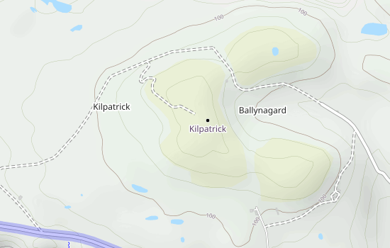
Click the above map for interactive version!Lots of geese in fields on way up to summit

2 Activations by 2 Activators

Details
Height 134m
Prominence 134m
Valid From 10 February 2012
Maidenhead Loc. IO65vh
WAB Square D15
OS Grid Reference D137519
Summit Feature Several broken windmills
Lat/Long. 55.3008/-6.21058

Most Recent Activations
GI0AZA/P 20/08/2017
GI0AZB/P 20/08/2017

QSOs By Band

QSOs By Mode